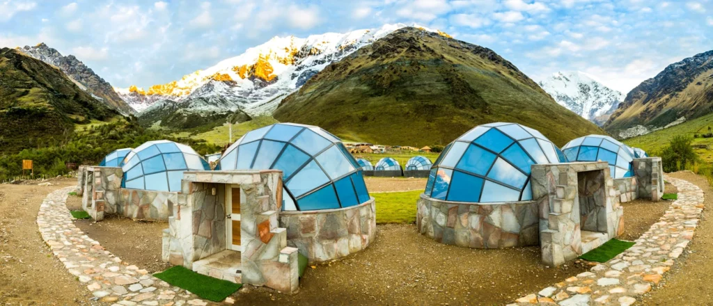
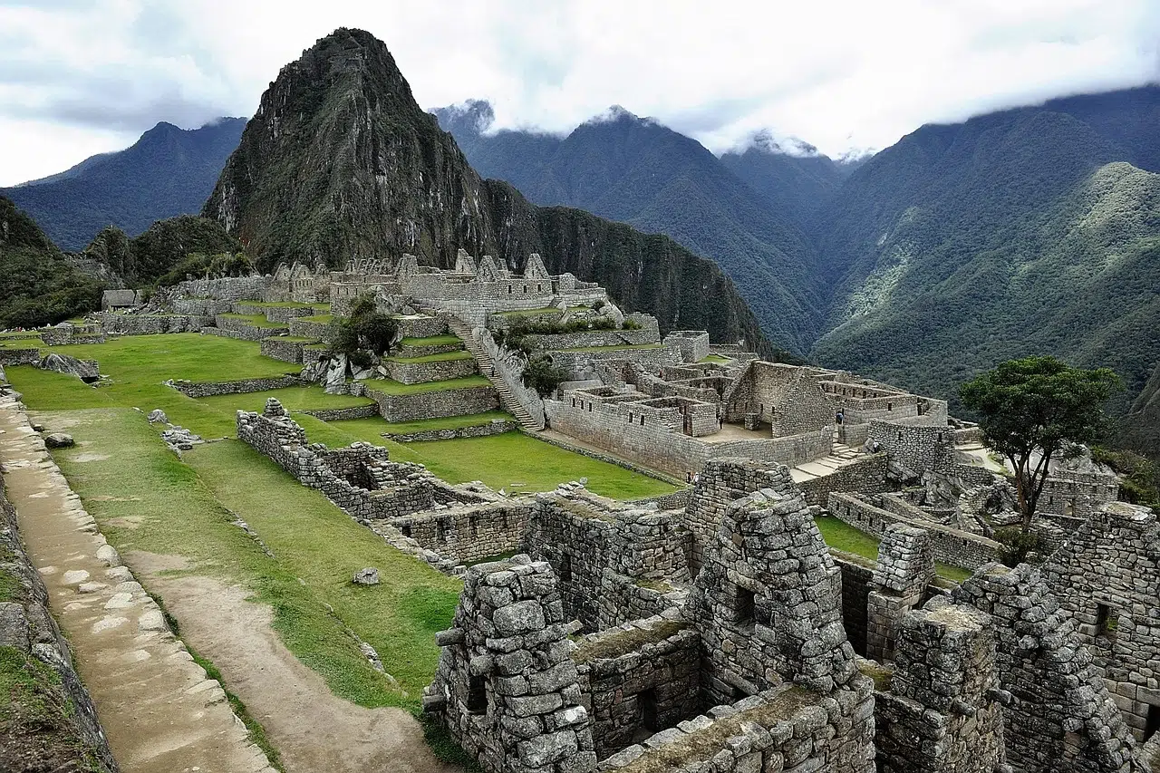
The Salkantay Trek is one of Peru’s most iconic adventures, offering stunning landscapes, diverse ecosystems, and a challenging yet rewarding journey. But how do you navigate this incredible trek? In this guide, we’ll explore the Salkantay Trek map, including key landmarks, elevation changes, and tips for using a map to plan your adventure.
Why is a Salkantay Trek Map Important?
A map is an essential tool for any trekker. Here’s why:
- Navigation: Helps you stay on track and avoid getting lost.
- Planning: Allows you to understand the route, distances, and elevation changes.
- Safety: Provides crucial information in case of emergencies.
- Experience: Enhances your journey by highlighting key landmarks and viewpoints.
Salkantay Trek Map: Key Landmarks and Elevation Profile
Here’s a breakdown of the Salkantay Trek route based on the classic 5-day itinerary:
Day 1: Cusco to Soraypampa
- Route: Cusco → Mollepata → Soraypampa.
- Elevation: 2,800m to 3,900m (9,186ft to 12,795ft).
- Landmarks: Scenic drive to Mollepata, first views of the Salkantay Mountain.
Day 2: Soraypampa to Collpapampa
- Route: Soraypampa → Salkantay Pass → Collpapampa.
- Elevation: 3,900m to 4,630m (Salkantay Pass) to 2,900m (9,514ft).
- Landmarks: Salkantay Pass, Humantay Lake (optional detour).
Day 3: Collpapampa to La Playa
- Route: Collpapampa → La Playa.
- Elevation: 2,900m to 2,100m (6,890ft).
- Landmarks: Cloud forests, coffee plantations, and waterfalls.
Day 4: La Playa to Aguas Calientes
- Route: La Playa → Llactapata → Aguas Calientes.
- Elevation: 2,100m to 2,040m (6,693ft).
- Landmarks: Llactapata ruins, views of Machu Picchu.
Day 5: Machu Picchu
- Route: Aguas Calientes → Machu Picchu → Cusco.
- Elevation: 2,040m to 2,430m (7,972ft).
- Landmarks: Machu Picchu citadel, Huayna Picchu or Machu Picchu Mountain (optional).
How to Use a Salkantay Trek Map
Here are some tips for using a Salkantay Trek map effectively:
- Study the Route: Familiarize yourself with the key landmarks and elevation changes.
- Mark Key Points: Highlight campsites, water sources, and emergency exits.
- Carry a Physical Map: Even if you have a digital map, a physical copy is essential in case of battery failure.
- Use a GPS Device: A GPS device or smartphone app can help you track your progress in real-time.
- Consult Your Guide: If you’re on a guided tour, your guide will provide valuable insights and navigation assistance.
Frequently Asked Questions About the Salkantay Trek Map
1. Where can I find a Salkantay Trek map?
You can find maps online, in guidebooks, or through tour operators. Some trekking apps also offer detailed maps of the route.
2. Is the Salkantay Trek well-marked?
The trail is generally well-marked, but having a map is still recommended for safety and navigation.
3. Can I do the Salkantay Trek without a map?
While possible with a guide, it’s not recommended to trek without a map, especially if you’re hiking independently.
4. Are there digital maps available for the Salkantay Trek?
Yes, many trekking apps like Maps.me and AllTrails offer detailed digital maps of the Salkantay Trek.
Ready to Explore the Salkantay Trek?
Now that you understand the Salkantay Trek map, it’s time to start planning your adventure! Whether you’re a seasoned trekker or a first-time hiker, having a map will enhance your experience and keep you on track.
📌 Pro Tip: Download our free Salkantay Trek map and planning guide to help you prepare for your journey. And if you’re ready to book your trek, check out our exclusive Salkantay Trek packages for the best deals and expert guides.


